✨ New Arrivals Just Dropped!Explore
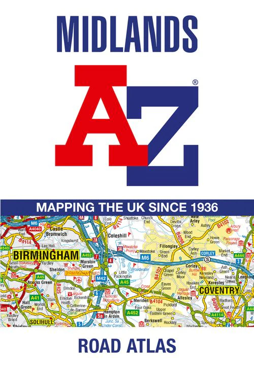

Midlands A-Z Road Atlas: (First edition)
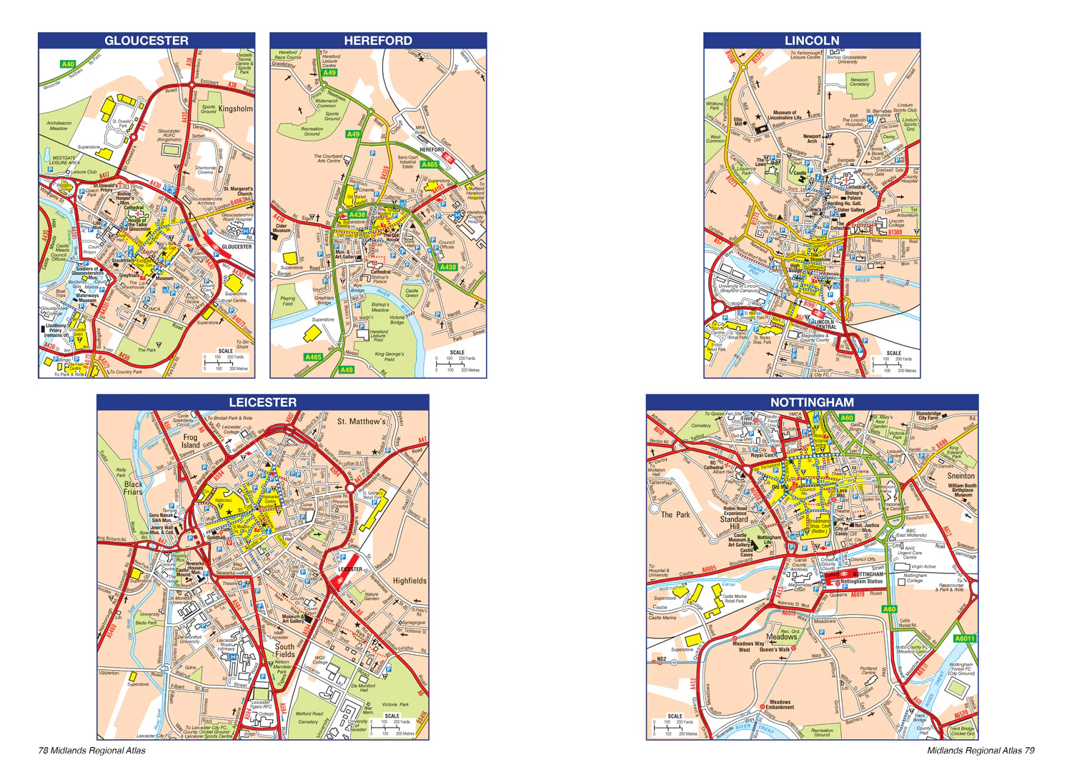
A full-colour, regional road atlas of the Midlands from A-Z Maps, featuring 46 pages of continuous road mapping.
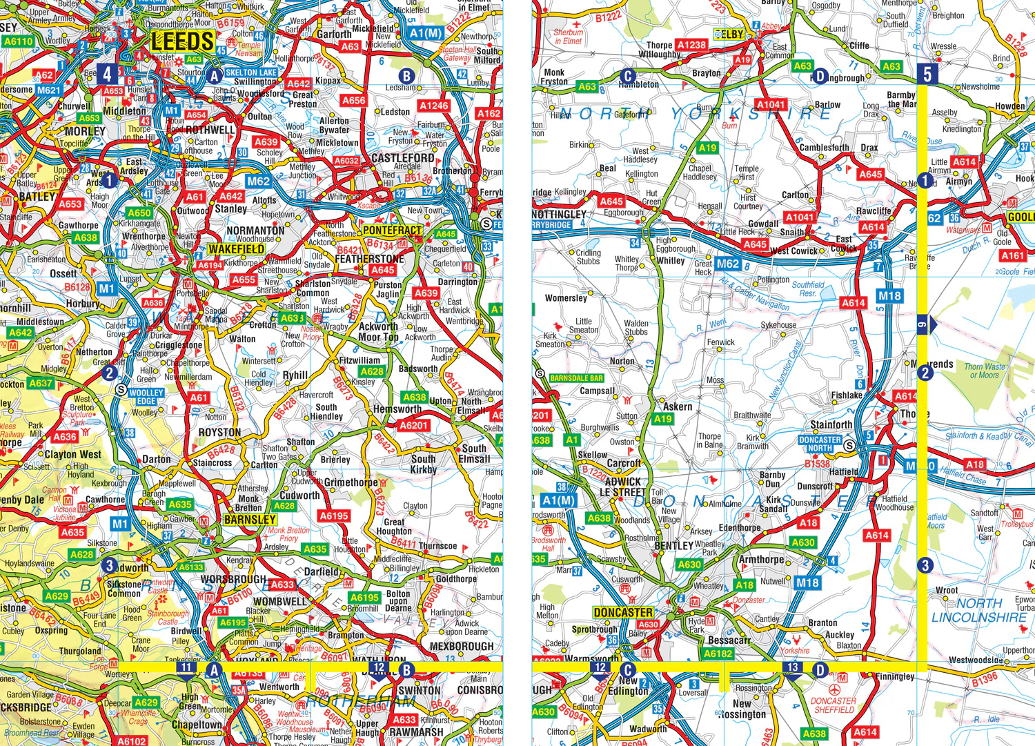
Road map detail is shown at a clear 2.5 miles to 1 inch scale (1.58 km to 1 cm) and includes the following features:
- Motorways open with full junction detail, motorways under construction and proposed, service areas, primary routes and destinations, A & B roads, selected minor roads, gradients 1:5 and steeper, tolls, mileages, county boundaries, spot heights and hill shading
- Selected safety camera locations with their maximum speed limits
- Selected fuel stations
- National Park boundaries
- Selected places of interest, tourist information centres and golf courses
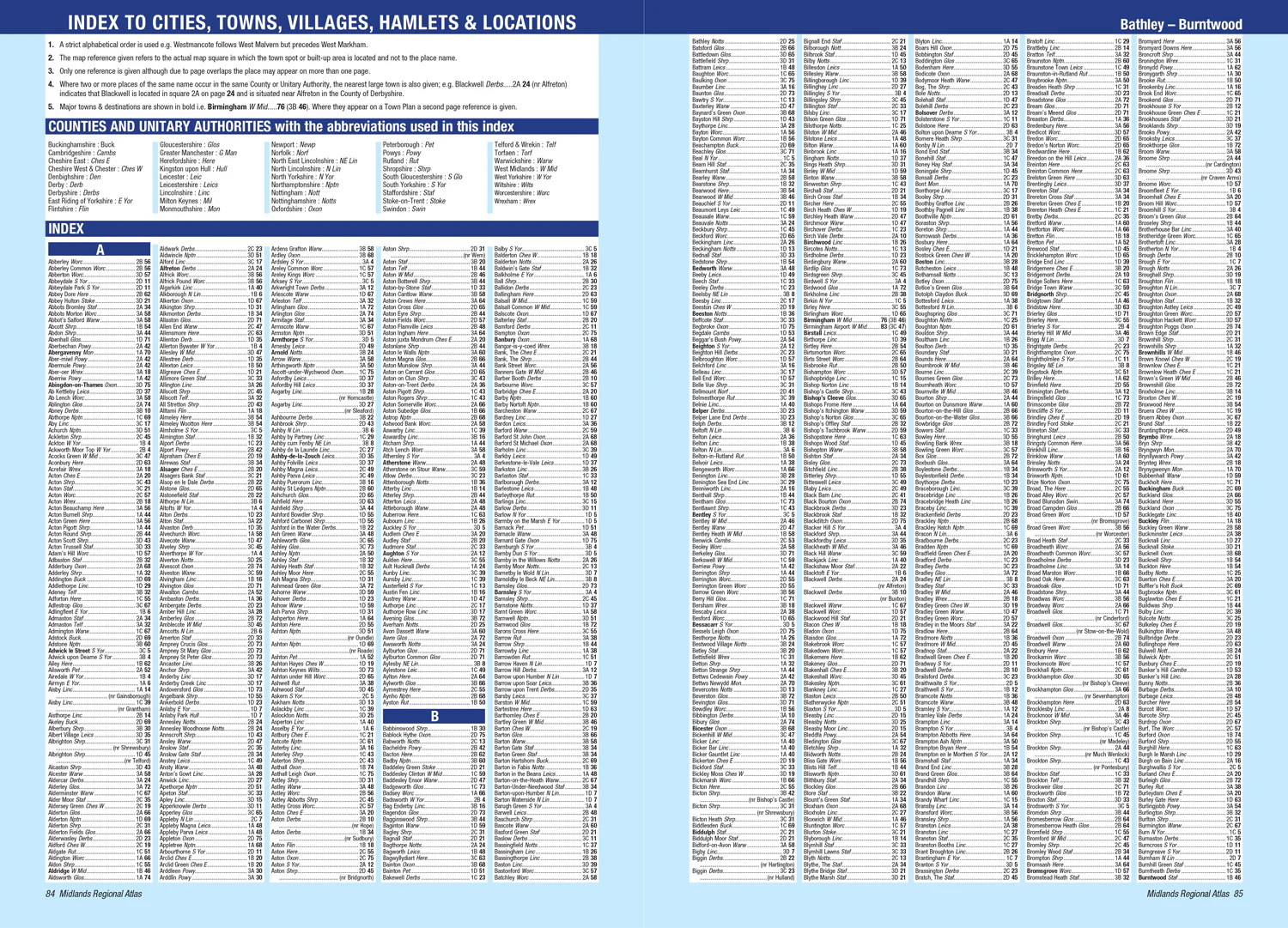
The index section lists cities, towns, villages, hamlets and locations covered by the road mapping.
$3.79
Original: $10.82
-65%Midlands A-Z Road Atlas: (First edition)—
$10.82
$3.79Product Information
Product Information
Shipping & Returns
Shipping & Returns
Description
A full-colour, regional road atlas of the Midlands from A-Z Maps, featuring 46 pages of continuous road mapping.
Road map detail is shown at a clear 2.5 miles to 1 inch scale (1.58 km to 1 cm) and includes the following features:
- Motorways open with full junction detail, motorways under construction and proposed, service areas, primary routes and destinations, A & B roads, selected minor roads, gradients 1:5 and steeper, tolls, mileages, county boundaries, spot heights and hill shading
- Selected safety camera locations with their maximum speed limits
- Selected fuel stations
- National Park boundaries
- Selected places of interest, tourist information centres and golf courses
The index section lists cities, towns, villages, hamlets and locations covered by the road mapping.